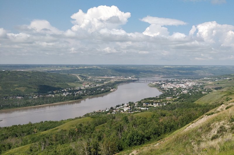
Northwest Alberta
✔️
Shallow Cretaceous Sandstone. Ranging approximately from 725-800mTVD.✔️
44 sections of land representing 28,160 acres. PNG rights from the surface to the basement.✔️
The target is a bypassed, untested, shallow, sandstone channel and shoreface with significant oil shows and porosities of up to 28% and permeability up to 500mD.✔️
Northwest Alberta presents an opportunity to exploit a well mapped bypassed pay zone using an innovative drilling methodology (open hole multilateral horizontal wells).✔️
Economic with new drilling and completion technology✔️
Large, mapped area allows for excellent repeatability
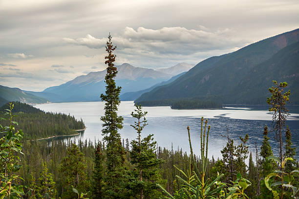
Northeast British Columbia
✔️
Shallow Cretaceous Sandstone. Ranging approximately from 475-620mTVD.✔️
15 sections of land representing 9,916 acres. PNG rights from the surface to the basement.✔️
The target is a bypassed, untested, shallow, shaly sandstone with significant oil shows and porosities of up to 18% and permeability up to 100mD.✔️
Northeast British Columbia presents an opportunity to exploit a well mapped bypassed pay zone using an innovative drilling methodology (open hole multilateral horizontal wells).✔️
Potential to be highly economic with new drilling and completion technology✔️
Large, mapped area allows for excellent repeatability